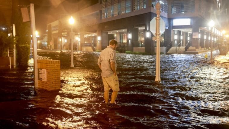
TAMPA BAY, Fla. — As Hurricane Milton moves south of Tampa Bay, strong offshore winds are causing a phenomenon known as “reverse surge,” pushing water out of the bay. Current measurements indicate that all gauges in the area are significantly below predicted levels, with the East Bay gauge reporting values more than 3.5 feet lower than expected.
Officials from the Florida Division of Emergency Management have warned residents against walking into the receding water, stating that it will inevitably return through storm surge and poses a life-threatening risk.
Forecasts from NOAA indicate that surge levels are expected to rise significantly overnight into early Thursday morning as winds shift from a northeasterly to a northwesterly direction. This shift could see water levels swing from over 3.5 feet below predicted values to approximately 2 feet above. However, despite these fluctuations, Tampa Bay is projected to avoid record-setting storm surge due to the location of Hurricane Milton‘s landfall.


